
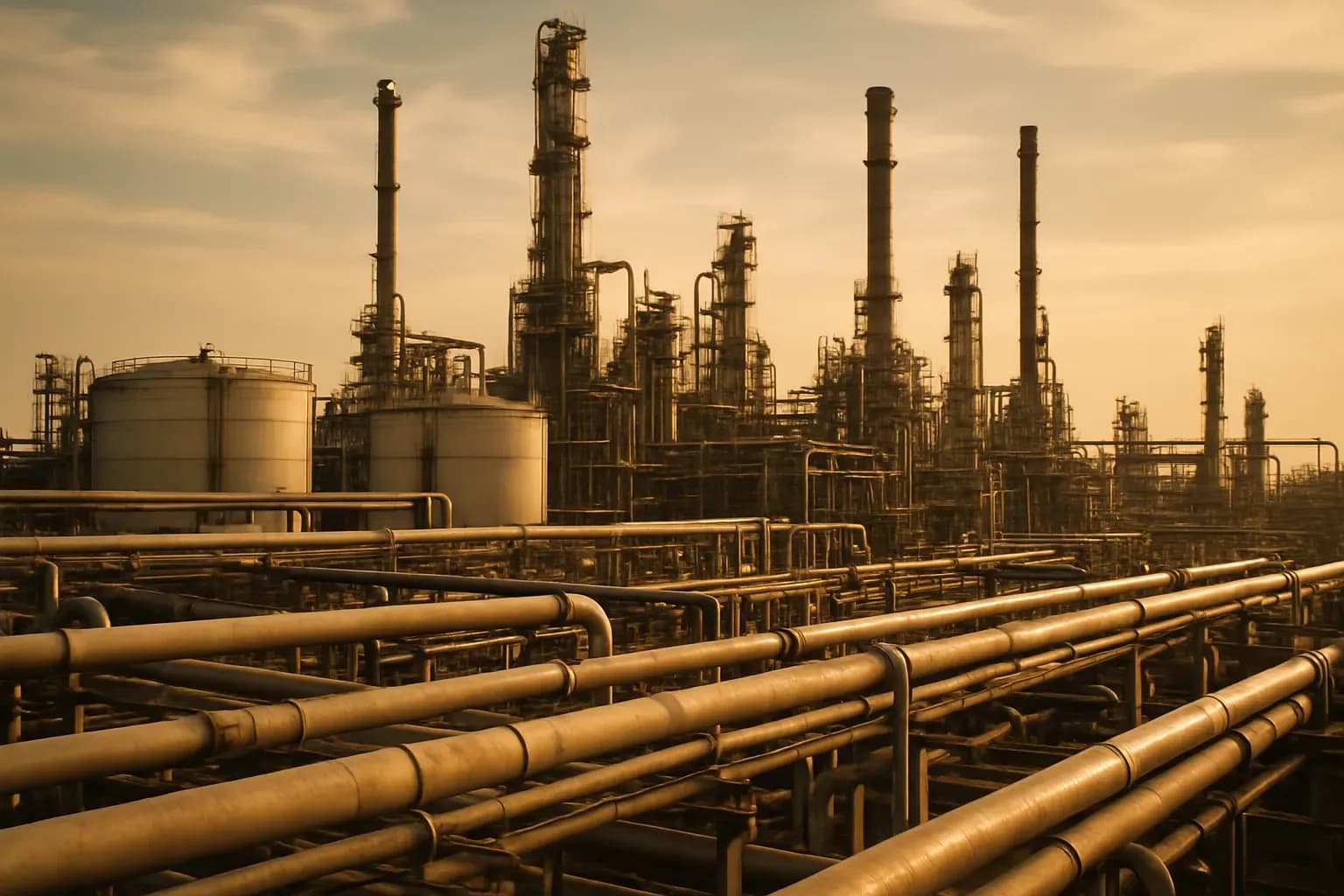
Oil moves through a chain before it reaches a market
A barrel of crude begins its trip in a system built around handoffs. From the wellhead, gathering pipelines carry crude to storage and then onward to upgraders or refineries; feeder pipelines take it from storage tanks and processing facilities to transmission lines; transmission pipelines carry it toward refining markets, often across provincial or international boundaries, according to the Canada Energy Regulator. The journey looks continuous from a distance, yet every stretch has a defined role and delivers into the next one.
That sequence gives crude oil movement its reach. Gathering lines collect production at its source and bring separate flows into places where oil can be stored, upgraded, or refined. Storage and processing facilities then become the hinge between local collection and the larger network, passing supply into feeder lines that lead to transmission systems. Transmission lines take over for the long haul, linking producing areas with refining markets across borders and provinces. Each part works because the next part stands ready to receive what arrives.
Canada’s scale makes those handoffs especially consequential. In 2019, the country ranked as the world’s fourth-largest crude oil producer and accounted for 5.9% of global crude supply, with average production of 4.9 million barrels per day, the regulator reports. Moving that volume depends on a network whose pieces perform different jobs, from the first connection at a wellhead to the lines that reach faraway markets.
The division of work also makes the system legible. Gathering and feeder pipelines generally sit under provincial regulation, while transmission pipelines typically fall under the Canada Energy Regulator’s authority; a pipeline crossing a provincial or international boundary falls under the CER, according to its description of the network. The CER regulates approximately 68,000 kilometres of operating pipelines, including 19,142 kilometres of operating oil pipelines, a measure of how much infrastructure is organized around these specific functions.
This feature follows crude oil through that organized chain: the routes that gather it, the facilities that receive it, and the transmission lines that carry it onward. The apparent flexibility of the network comes from its many connected parts, while its practical limits come from the same design. Oil can move only where a line leads, only at the volume that line can carry, and only into facilities prepared for the handoff. Once one link changes, the search for another route begins with every destination already built into the system.
Keystone shows what a working route is built to do
Keystone makes those limits visible across a continental route. The system stretches 2,687 miles, or 4,324 kilometres, across Canada and parts of the continental United States, carrying oil recovered from Alberta’s tar sands toward petroleum terminals in Patoka, Illinois, and Houston, Texas, as Britannica describes it. Its length gives the route its scale, while its sequence gives the route its purpose. Each completed section extended a planned path south from Alberta through a set of named places, creating a continuous line for a particular stream of crude oil.
That path took shape in stages. TC Energy, then known as TransCanada, completed the first phase in 2010, beginning at Hardisty, Alberta, moving east to southern Manitoba, then turning south to Steele City, Nebraska, before heading east again to Patoka. Britannica’s account of the system traces that first segment as the backbone for what followed. A second phase, completed in 2011, ran south from the storage facilities at Steele City to Cushing, Oklahoma. The third phase then connected to Houston and was completed in 2014. The result was a route built through successive additions, with every addition extending the same movement of oil farther along the map.
Its scale becomes clearer in the volume it was designed to carry. Keystone was designed to transport as much as 830,000 barrels of oil per day, approximately 34.9 million gallons. That figure describes dedicated infrastructure working at an industrial pace: a line sized for a daily flow measured in hundreds of thousands of barrels, rather than occasional shipments arranged one at a time. The pipe, the route, and the daily volume belong to the same operating design. A pipeline earns its value by carrying a large, repeated flow over the corridor it was built to serve.
Actual throughput shows how that design operated over time. Between 2012 and 2022, Keystone’s throughput largely ranged from 550,000 to 650,000 barrels per day, or from 23.1 million to 27.3 million gallons, according to Britannica. Those daily volumes place the system’s capacity in practical terms: the route carried a sustained flow large enough to make its individual segments matter every day. Following the line from Hardisty through Manitoba and Nebraska, then onward through Cushing to Houston, reveals the essential character of a working pipeline. It is a built corridor with a direction, a rhythm, and a defined amount of oil moving through it.
The endpoints matter as much as the pipe itself
From there, the route’s daily flow acquired its practical meaning at the places where it arrived. Keystone’s first phase carried oil from Hardisty, Alberta, through southern Manitoba and Steele City, Nebraska, to Patoka, Illinois, while the next phase connected Steele City’s storage facilities south to Cushing, Oklahoma. The third phase then connected the system to Houston, creating a sequence that joined an Alberta production area to a Midwest terminal, an Oklahoma storage and distribution point, and Texas refining markets. Britannica’s account of the system makes that sequence clear: each addition extended a route with a particular destination already built into it.
Those destinations shaped what the line could deliver. In 2013, Keystone’s first two phases had capacity to send up to 590,000 barrels of oil per day into Midwest refineries, according to the Keystone Pipeline system overview. That figure describes more than volume moving through a long steel corridor. It describes a daily connection between the line’s northern origin, the path through Steele City, and refineries equipped to receive oil through the Midwest end of the system. The route to Cushing added another kind of endpoint: oil tank farms and an oil pipeline distribution center, where a delivered barrel entered the facilities attached to that location.
Texas required its own downstream connection, and Phase III supplied it. With capacity of up to 700,000 barrels per day to Texas refineries, the system overview reports, that phase gave the overall route a second large refining destination beyond the Midwest. Houston therefore stood as a working end of a specific chain, reached through the segment from Cushing rather than through an abstract national network. Patoka, Cushing, and Houston each represented a place where the moving oil met storage, distribution, or refining infrastructure already linked to the pipeline.
That is why the question raised by an interruption starts with geography. A barrel traveling on a particular segment is traveling toward the facilities connected to that segment, at the volumes that segment can carry. The alternatives, where they exist, must still lead toward a usable destination, whether a refinery market, a terminal, or a storage and distribution point. Once a fixed route loses continuity, the challenge quickly becomes operational: which connected places can still receive the flow, and how much of it can reach them?
A Kansas rupture turned a fixed route into an immediate operational problem
Once a fixed route loses continuity, the consequences arrive at once. In 2022, a rupture in Washington County, Kansas, spilled 14,000 barrels, or 588,000 gallons, of crude oil into a nearby water source, as Britannica reports. That spill gave the larger routing problem a precise physical form: the line that had been carrying oil along its established path now required a response to a rupture, while the movement through that segment had to stop. TC Energy officials closed the pipeline for roughly 20 days, turning a route built around steady, continuous flow into an interruption measured in weeks.
The duration matters because a pipeline’s usefulness comes from its ability to connect each point in its path to the next one, day after day. Once the Kansas segment closed, the system’s established sequence could no longer carry crude through that point toward the facilities farther along the route. The practical problem therefore had two parts at the same time. The rupture demanded attention where it occurred, and the closure removed a working segment from an operating chain. Oil moving through a dedicated corridor depends on the corridor remaining open from one connection to the next; a closed segment leaves the wider route facing an immediate question of how its flow can continue.
Keystone’s record shows that the Kansas event belonged to a documented history of leaks rather than standing alone. A 12-year study by the U.S. Government Accountability Office recorded 22 Keystone leak incidents between 2010 and 2020, according to Britannica. Each incident has its own circumstances, yet the record makes the operational lesson clearer: continuity is an active condition, sustained through a long piece of infrastructure and vulnerable wherever that infrastructure fails. In Kansas, the rupture converted that vulnerability into a direct constraint. A route designed for large daily volumes had lost a segment, and every destination beyond that point became harder to reach through the system’s ordinary path.
Crossing a Border Changes the System Around the Pipe
Sustained continuity depends on more than the condition of the steel. As crude moves from the local lines that collect it into the long transmission routes that carry it across jurisdictions, the system enters a different layer of oversight, one shaped by where a pipe begins, where it ends, and which boundaries it crosses.
Canada’s provincial regulators typically oversee gathering and feeder pipelines, the earlier links that move crude from production toward storage, processing facilities, and larger lines. Transmission pipelines carry the next leg toward refining markets, often across provincial or international boundaries, and the regulatory responsibility changes with that larger reach. The Canada Energy Regulator typically regulates transmission pipelines, and a pipeline crossing either a provincial or an international boundary falls under CER regulation.
That threshold gives a cross-border route a defined institutional setting alongside its physical one. The pipe still has its pumps, connections, destinations, and operating demands, yet its movement also sits within the authority responsible for an interprovincial or international system. A replacement path therefore involves more than finding a line that runs in a broadly useful direction. It has to fit into the network of routes and oversight that governs the movement across the boundary in the first place.
The scale of that responsibility is substantial. The CER regulates approximately 68,000 kilometres of operating pipelines, including 19,142 kilometres of operating oil pipelines, according to the regulator’s account of Canada’s crude-oil transportation system. Those figures describe a vast operating map, yet each transmission line on that map has a particular role: it connects particular facilities, crosses particular borders, and carries oil toward particular markets.
That is why a cross-border transmission route cannot function as interchangeable infrastructure. Its capacity belongs to a defined corridor, and its oversight belongs to a defined jurisdictional framework. When continuity breaks, the search for a detour begins inside both realities at once.
Keystone XL reveals how hard capacity is to add ahead of a failure
Those two realities also shape the routes that might have added room to the system before an interruption ever arrived. Keystone XL was proposed in 2008 as an expansion from Hardisty, Alberta, to Steele City, Nebraska, following a larger-diameter and more direct path through Montana and South Dakota, as Britannica describes it. The proposal placed its value in that directness: it would have created a distinct long-distance corridor between an origin point and a major junction already embedded in the wider network.
That corridor required planning at continental scale. The proposed line measured 1,897 kilometres, used a 36-inch diameter pipe, and carried a proposed capacity of up to 830,000 barrels per day, according to the project overview. Each specification points to decisions that have to be made far in advance: where a route will run, what volume it will be built to carry, and which existing facilities it will join. A prospective line can therefore change the options available across a network long before any barrel enters it.
Keystone XL also shows how those options depend on approvals that can reshape the project’s future. On January 20, 2021, President Joe Biden signed an executive order revoking the permit granted to TC Energy for the Keystone XL Pipeline, according to the Keystone Pipeline system overview. TC Energy discontinued the proposal later that year, as Britannica reports, closing the path that had been planned from Hardisty through Montana and South Dakota to Steele City.
The significance lies in the timing built into every alternative. A line proposed in 2008 carried a route, a diameter, capacity targets, permit requirements, and a specific set of connections into 2021. Reserve capacity and alternate corridors emerge from choices made years before an outage tests the route already in service. By the time a working pipeline closes, the available detour reflects a history of infrastructure decisions as much as the geography on the map.
Alaska’s pipeline shows why major oil routes become foundational
That history can be read in Alaska, where the Trans-Alaska Pipeline System runs about 800 miles from Prudhoe Bay to the port of Valdez, carrying the weight of decisions made long before oil begins its trip. The route grew out of a discovery made on December 26, 1967, when North America’s largest oil field was found in temperatures 30 degrees Celsius below zero and estimated to hold at least 9.6 billion barrels. A pipeline offered the connection between that remote field and Valdez, yet building it required a national commitment as well as an engineering response to the ground beneath it. EBSCO Research Starters reports that Congress authorized construction in November 1973, work began in April 1974, and the system was completed in 1977 at a cost of nearly $10 billion.
The construction itself shows how much of a route becomes fixed in the conditions of its landscape. Permafrost led builders to place more than half the pipeline’s length above ground, making the line’s physical form part of the solution to moving oil across Alaska. Those choices followed years of delay: a court injunction halted work on April 13, 1970, and construction remained suspended for nearly four years. During that period, the Alaska Native Claims Settlement Act passed in 1971, while the Arab oil embargo in October 1973 drove the price of imported oil to nearly $12 a barrel after it quadrupled. The EBSCO account places the eventual authorization and construction within that sequence, where law, geography, energy markets, and a single proposed corridor all shaped one another.
Once the system opened, those long-set choices supported volumes that quickly made the route central to the movement of Alaska oil. Within a year of completion, the pipeline carried one million barrels per day to Valdez; by the early 1980s, the amount transported had doubled. According to EBSCO Research Starters, that rise came through an 800-mile system built for a specific journey from Prudhoe Bay to a specific port. The result captures the larger reality of oil transport: a corridor can make immense daily flows appear routine precisely because its connections have been planned, authorized, built, and adapted over many years. When such a route goes dark, every destination and handoff it quietly supplied comes back into view.




Comments (0)