
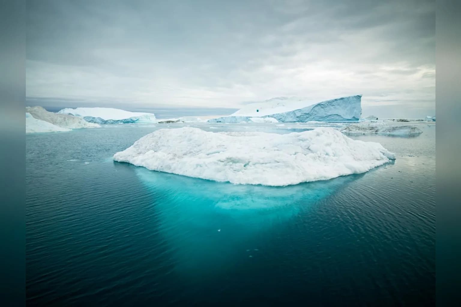
Greenland and Antarctica lost a combined 11.3 trillion tonnes of ice between 1979 and 2023, according to an international study that assembled satellite measurements stretching back further than previous assessments. The loss raised global sea levels by 3.14 centimetres, the researchers found, and followed a sharp acceleration from the 1990s onwards.
The study, led by Dr. Inès Otosaka of Northumbria University and published in Scientific Data, drew together 42 independent satellite surveys from 27 satellite missions. By incorporating NASA observations with European satellite data, the team extended the record back to 1972 for Greenland and 1979 for Antarctica. Earlier studies had generally tracked ice-sheet losses from the 1990s onwards.
The expanded record shows that both ice sheets were relatively stable through the 1970s, 1980s and into the 1990s. Their losses then increased sharply, with the fastest rates recorded in the 2010s. Greenland lost about 291 billion tons a year in the 2010s, compared with about 66 billion in the 1980s. Antarctica’s rate rose from about 53 billion tons to more than 222 billion tons between the 1980s and 2010s.
Greenland lost 6,215 ± 467 billion tonnes from 1972, while Antarctica lost 4,780 ± 513 billion tonnes between 1979 and 2023. Greenland accounts for roughly 60% of the loss measured by the research and Antarctica about 40%, even though Antarctica is eight times larger.
The researchers used several ways of measuring changes in the ice sheets, including satellite altimetry, which tracks changes in surface height; gravimetry, which measures changes in mass; and the input-output method, which compares snowfall and other gains with ice flowing into the ocean.
The findings point to ocean-driven changes as the main force behind the loss. Some 84% of the combined total came from glaciers speeding up and discharging more ice into the ocean, while 16% resulted from melting at the surface. The researchers said five-sixths of the melt comes from warmer waters eroding ice sheets from below and along their sides.
The melted volume would be enough to cover the continental United States in ice 5 feet (1.5 meters) deep. Both polar ice sheets are responsible for about a quarter of all global sea level rise. The consequences of even small further increases can be widespread: for every third of an inch (or centimeter) of sea level rise, another 2 to 3 million people get flooded at least once a year.
The study also identifies a recent interruption in the rapid rise in losses. The accelerating figures appeared to pause from 2020 to 2023, when the rate of ice loss slowed in large part because of record snowfall over East Antarctica and milder summers in Greenland.
The authors said that period reflected short-term weather variations rather than a change in the long-term trend. The data do not establish whether the slowdown will persist or whether losses will begin accelerating again. They do show, however, that the longer satellite record captures a sustained increase in ice loss after the relative stability of earlier decades.





Comments (0)