
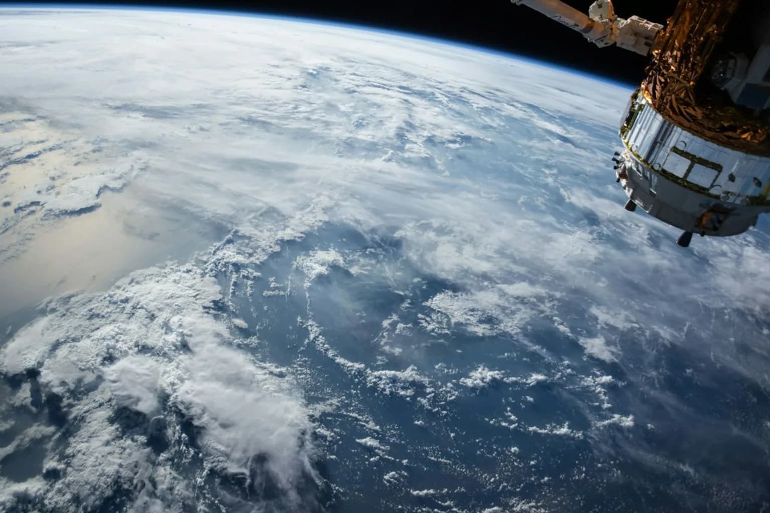
Hurricane Polo’s rise from a tropical depression to a Category 5 hurricane in 42 hours is a historic example of rapid intensification in the eastern Pacific Ocean. The storm has since been downgraded to Category 4, though the US National Hurricane Center said it remained “very powerful”.
Category 5 is the highest rating on the Saffir-Simpson Hurricane Wind Scale, and storms at that strength are rare. Rising ocean temperatures have made Category 5 hurricanes more frequent in recent years, while Polo’s exceptional strengthening was fuelled by extremely warm waters linked to the El Niño climate phenomenon.
On Tuesday night, Polo was about 210 miles south of Zihuatanejo, Mexico, and drifting northeast across the eastern Pacific Ocean at 1 mile per hour. On Wednesday, it was swirling about 233 kilometres south-southwest of Zihuatanejo.
Forecasters said Polo was not expected to make landfall. They expect it to turn northwest and then move west-northwestward near Mexico’s coastline over the next few days, with the core of the hurricane remaining offshore. The precise timing and extent of that turn remain uncertain.
The absence of a direct landfall does not remove the threat to southwestern Mexico. Heavy rain is expected to affect parts of the region and could cause life-threatening flooding and mudslides. Polo was expected to bring 10 to 15 centimetres of rain to coastal areas through Thursday.
Guerrero state faces a particular risk of life-threatening flooding and mudslides. Local media in Guerrero reported damaged roads, fallen trees and rough seas, with authorities closing ports to small boats.
Polo is also expected to produce dangerous surf and potentially deadly rip currents. Swells from the hurricane are forecast to spread towards Baja California Sur, where conditions in offshore waters are expected to worsen this weekend.
The full scale of damage, the final rainfall totals and the areas most exposed to flooding and mudslides remain unknown. There is also no indication in the available forecast of how far Polo may weaken below Category 4. Its rapid transformation has nevertheless highlighted the role that exceptionally warm ocean water can play in producing the most powerful hurricanes.





Comments (0)