
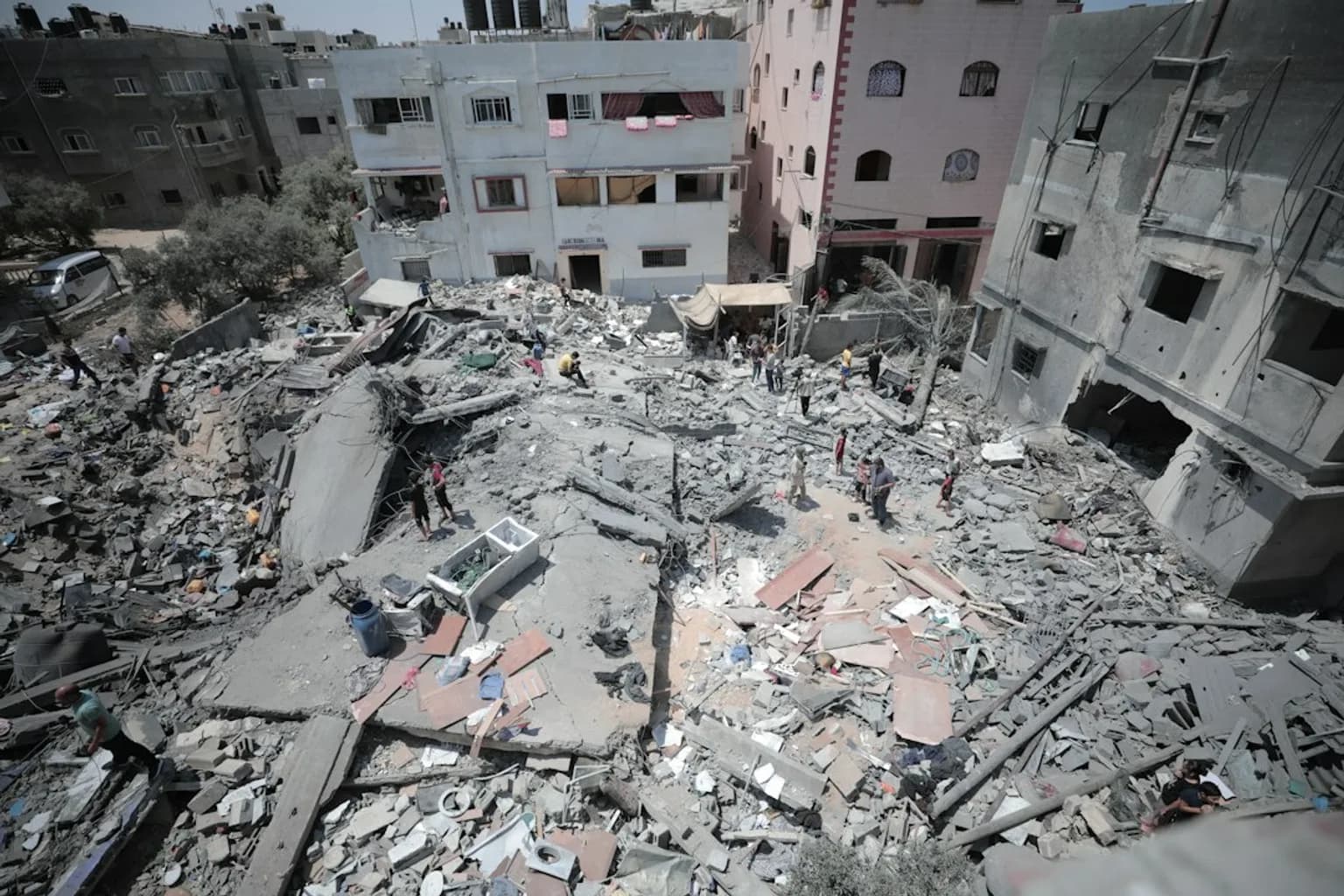
Dalal Faraj looked at satellite images of the Gaza City neighbourhood where her home was bombed and struggled to recognise it. “Impossible … This is our area? Where did the houses go? Where are my husband and son?” she said.
The updated views on Google Maps and Google Earth offer a geographic record of the destruction across Gaza nearly three years into Israel’s military campaign. The images became visible on Google Maps over the past day.
Across parts of the besieged territory, roads cut through blocks that appear to be grey rubble. In neighbourhood after neighbourhood, the main roads are among the few remaining visible outlines.
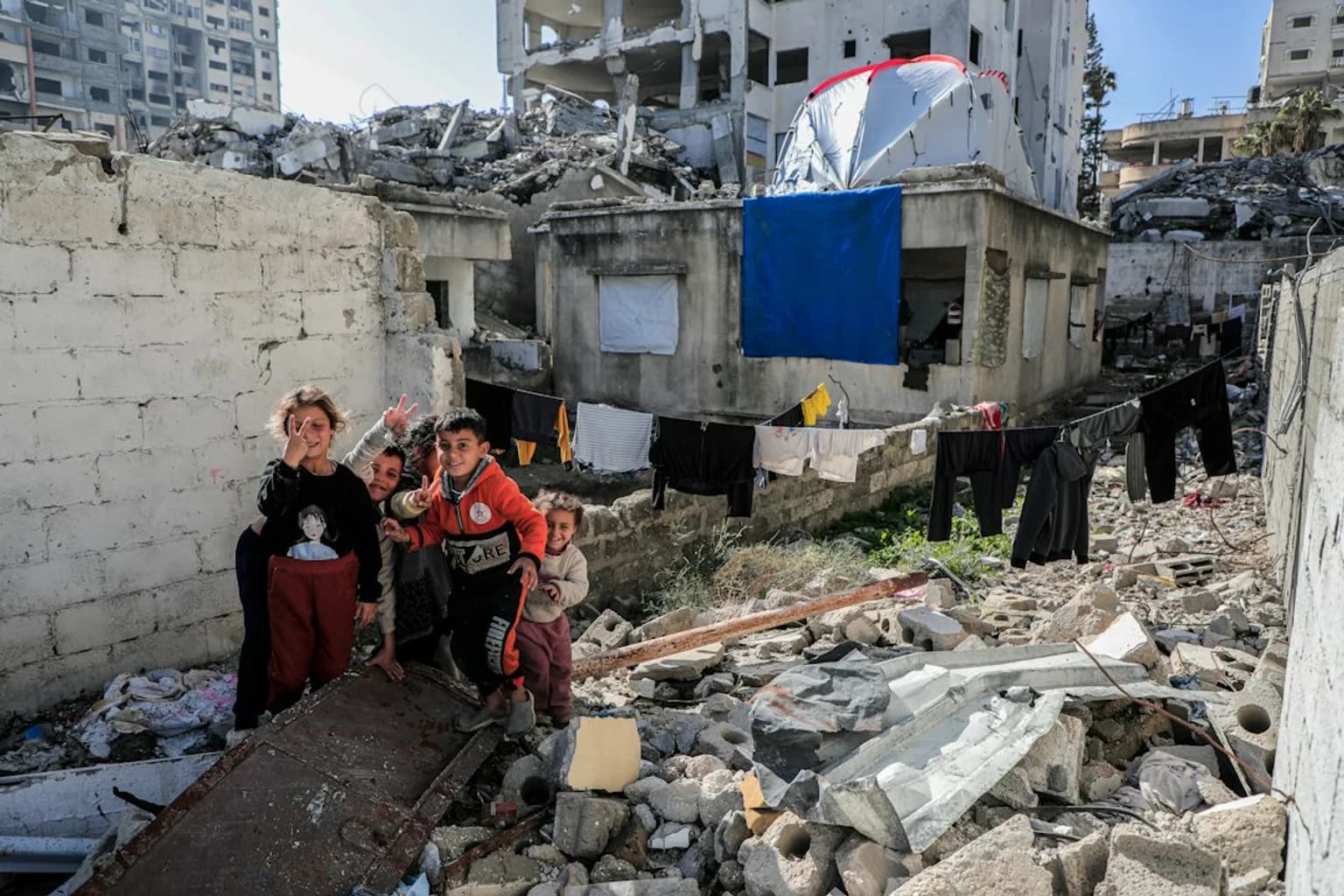
Along the coast, rows of makeshift shelters now form a prominent feature of the imagery. Around Al-Shifa Hospital in Gaza City, the landscape is extensively damaged and markedly altered from its pre-war appearance.
In Rafah, dense residential rows have given way to debris fields and cleared land, beside temporary shelters for displaced Palestinians. The Tal as-Sultan neighbourhood in western Rafah has been almost entirely wiped out, leaving little beyond sand where homes stood.
A UN Satellite Centre assessment published in August found that about 82 percent of structures across Gaza had been damaged, amounting to more than 200,000 structures. Around two-thirds were assessed as destroyed.
A separate UNOSAT assessment, using satellite imagery collected on 11 October 2025, counted 198,273 affected structures, including 123,464 classified as destroyed.
An assessment released in April recorded more than 371,888 housing units damaged or destroyed. A September UN humanitarian assessment found that 107,941 of 178,632 inspected housing units, or 60 percent, had severe damage, had been destroyed or were otherwise considered uninhabitable.
The destruction has displaced around 1.9 million people in Gaza, many of them repeatedly, according to a UN report published on 24 September. The same report said more than 60 percent of Gaza’s population had lost their homes.
Israel’s war has killed more than 74,000 Palestinians since October 2023, according to Gaza’s Health Ministry.
Khan Younis recorded 51,885 damaged structures, the highest total of any governorate in UNOSAT’s October 2025 assessment. The area was one of Gaza’s main agricultural hubs and has recorded the Gaza Strip’s largest total area of damaged cropland. Satellite imagery also shows destruction extending to cropland and centuries-old places of worship.
Israel withdrew from Al-Shifa Hospital on 1 April 2024, after a two-week siege. A World Health Organization mission days later described the hospital as an “empty shell”, with extensive damage to its emergency, surgical and maternity buildings.
About one million people were forced to flee Rafah after Israeli military operations began there in May 2024. In the same month, then-US President Joe Biden warned: “If they go into Rafah, … I'm not supplying the weapons,” yet Israel proceeded with the operation.
Israel pushed hundreds of thousands more people into al-Mawasi, an area it had declared a “humanitarian zone” early in the war and has since bombed repeatedly.
The economic damage is similarly broad. UN Trade and Development said 92 percent of Gaza’s economic establishments had been damaged or destroyed since October 2023.
On 24 September, UN Trade and Development put Gaza’s recovery and reconstruction needs at $71.5 billion. The UN, EU and World Bank estimated in April 2026 that needs over the following decade would reach $71.4 billion, including $26.3 billion during the first 18 months.
Abubaker Abed, a Palestinian journalist from Central Gaza who left the territory with his family in April 2025, called seeing the scale of destruction in his homeplace through Google Maps “surreal”. He said: “I've been to those places, I have seen the scale of the destruction - it was really heartbreaking. But when you see all the destruction in just one interactive website, it really broke my heart.”
Barry Andrews, an Irish member of the European Parliament, described images in which buildings had been reduced to rubble and neighbourhoods transformed by destruction. Chris Doyle, director of the Council for Arab-British Understanding, called the imagery an additional record of Gaza’s destruction. Nathan Ruser, a researcher at the Australian Strategic Policy Institute, said it offered a striking view of the devastation’s extent.
The record also raises questions about what happens to the rubble. A CBC News visual investigation analysis found satellite evidence that Israel is compacting and removing debris. It also found multiple destroyed, formerly populated areas being cleared for new Israeli Defence Forces military outposts.
UN officials have raised concerns that Israel is not properly handling rubble and bodies that may remain under it after strikes during the almost three-year conflict.
Ajith Sunghay, head of the Office of the United Nations High Commissioner for Human Rights in the Occupied Palestinian Territory, said: “It is Israel's obligation under international law to do everything possible to ensure these remains are found, identified and buried with dignity.”
In 2024, the International Court of Justice ordered Israel to take measures to preserve evidence of alleged violations of the UN Genocide Convention in Gaza. The implementation of that order remains unverified.
Faraj had already asked another question on seeing the satellite footage: “Where are the bodies? Where are the houses? Where's the rubble?”


Comments (0)